
Project: Lea County Roads Dept

Thermography Infrared Roof Survey Report
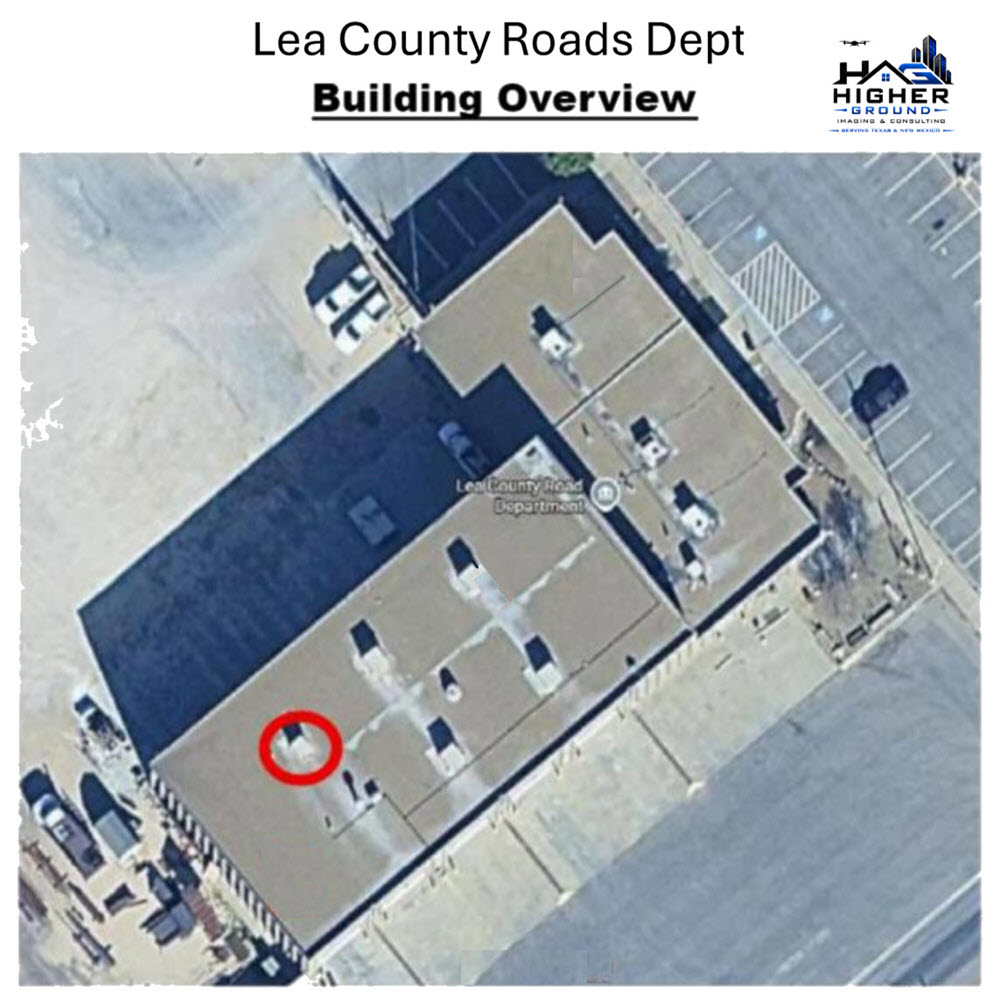
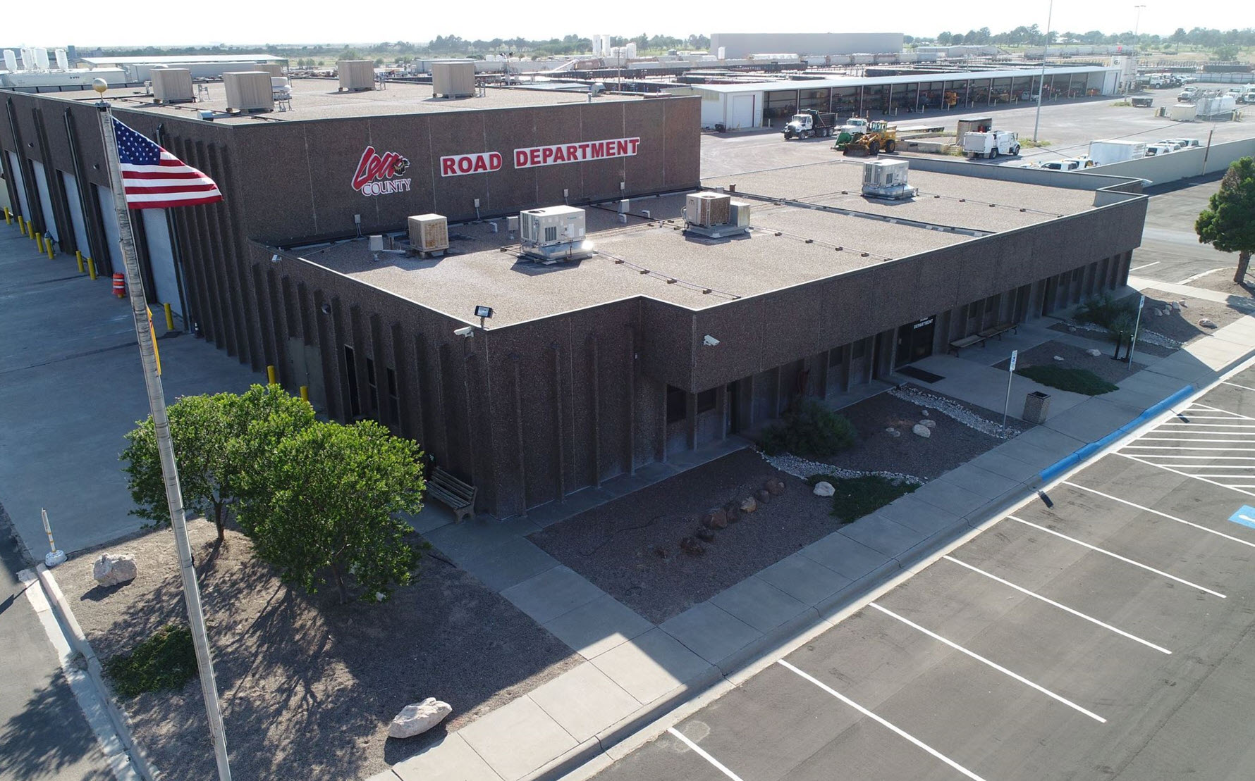
Building and Location: 5915 N. Lovington Highway Hobbs, NM 88240
Roof Sections Surveyed: 2
Square Footage: Approximately 17,030 square feet
Survey Date: April 30, 2026
Roof Inspection Survey Time: 7:30 pm
Daytime Weather Conditions: Partly Cloudy
Last Recordable Rainfall: More than 2 days
Weather Conditions at Survey Start Time: Partly cloudy.
Ambient Temperature at Survey Start Time: 65 F
Imager Used: Hybrid Infrared DJI Mavic 2 Enterprise Dual
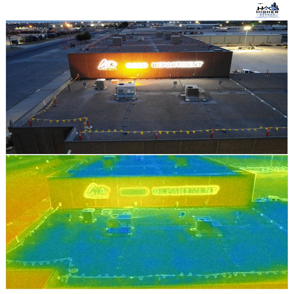
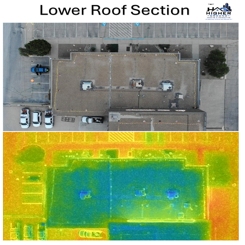
Analysis of Infrared Thermography Roof Survey
A total of approximately 17,030 sq. ft. was surveyed and moisture was detected on the
upper roof using the Trammex moisture detector and the IR drone.
Inspection complies with ASTM Standard C1153 – 10 “Standard Practice for Location of Wet
Insulation in Roof Systems Using Infrared Imaging”

Moisture Survey

Aerial photo and video

Ground photo and video

Live Feed
Drone Mapping
Our licensed professionals are ready to elevate your Project.
FAA Part 107 Certified Remote Pilot